New portal maps out Greater Victoria tsunami risk
Much of the region is in the clear, but people who live along the coast should be prepared
Source: Capital Region Tsunami Information Portal
The Capital Region is fairly safe from the effects of a tsunami. But, if one hits, areas along the coast won’t be.
On Tuesday, the Capital Region Tsunami Information Portal launched to help Greater Victorians and visitors know when they’re in a tsunami hazard zone, and where to go if a tsunami happens.
“Fortunately, most of the coastline has a limited risk of tsunami, and most of the area is at a minimal to no risk of tsunami,” said Ben Arril of GeoBC, which created the portal. But that doesn’t go for every part of the coast. “It’s incredibly important for people to know where the tsunami hazard zones within the Capital Regional District are located so therefore we can understand any of the potential risks.”
Stay connected to your city with the Capital Daily newsletter.
By filling out the form above, you agree to receive emails from Capital Daily. You can unsubscribe at any time.
Coastlines and areas at the mouths of rivers would be most affected by a tsunami, but in most cases, people living in those at-risk areas aren’t far from safety. Some at-risk zones are in well-populated areas, like the homes surrounding Cadboro Bay; Ogden Point and parts of the western edge of James Bay; and the low-lying diagonal stretch of land between McNeill Bay and the Oak Bay Marina.
Arril recommends that anyone who finds their home, workplace, or children’s school within an at-risk area, marked on the map in yellow, should take the time to map out an emergency route—and have a tsunami bag prepared, just in case. (Emergency bags should include things like first aid kits, medication, phone chargers, cash, and copies of important documents.)
For those who live in a green zone, all they should do in the event of a tsunami is stay put to free up streets for those who need to evacuate.
And never go to the beach to watch the waves.
“A tsunami can move a lot faster than you can run,” Arril said.
What causes a tsunami
The Capital Regional District is positioned right along a fault line, the Cascadia Subduction Zone, where two major continental plates meet. It runs from BC all the way down to Northern California.
Tsunamis can have a number of causes, but the most common source is an earthquake, particularly a subduction zone earthquake, explains Natural Resources Canada Earthquake Seismologist John Cassidy. These are the biggest earthquakes, which cause the ocean floor to lift and drop, triggering a series of waves. Smaller earthquakes can also trigger a tsunami by causing landslides underwater and on land.
Cassidy pointed to a 1946 magnitude 7.3 earthquake beneath Vancouver Island that caused hundreds of landslides into lakes, which generated massive waves.
Earthquakes are common in the region, but tsunamis are much less so. This year alone, there have been 1,151 smaller earthquakes in the region. They happen pretty much every single day, though most of them are hundreds of kilometres offshore along the boundaries of the tectonic plates.
The last time the Cascadia Subduction Zone caused a major earthquake was about 300 years ago, a deadly event that has been passed down in Indigenous oral histories. Scientists predict that a magnitude 7.1-plus earthquake could happen along this fault in the next 50 years, which could be catastrophic throughout the entire Pacific Northwest. Some seismologists suggest that Vancouver Island is already overdue for the Big One.
Preparing for an earthquake
Living in an active subduction zone means we should all be prepared for an earthquake and the potential for a tsunami.
While we should all prepare ourselves individually, governments have a major role to play in upgrading buildings to withstand a big quake. A 2017 city-wide study showed that a major earthquake could destroy 38% of Victoria's buildings.
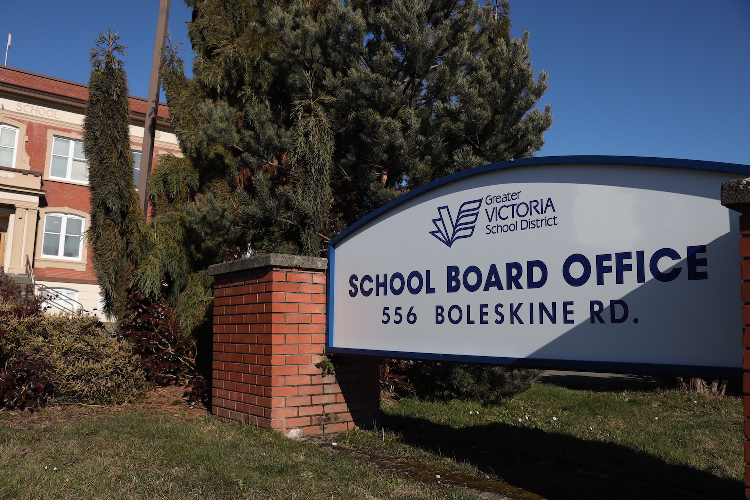
In July, a progress report showed that nearly four dozen South Island schools are due for earthquake safety updates, but many have to wait due to project deferrals and funding shortfalls.
As for a tsunami, there is little that can be done to prepare buildings to withstand the force of the waves.
“I would say that if your building is in the path of the wave, there’s not a whole lot that you can do,” said Dr. Jim Kirby of the University of Delaware. “Existing structures are really vulnerable.”
Stay connected to your city with the Capital Daily newsletter.
By filling out the form above, you agree to receive emails from Capital Daily. You can unsubscribe at any time.

.jpeg)
.jpg)